

geoMS 1.0
geoMS is a geostatistical modelling software for windows platform
Share
Edit
Rate this app
Program info
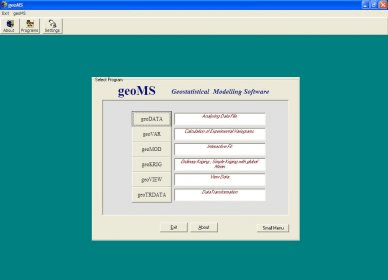
The geoMS (geostatistical Modelling Software) is a geostatistical software for Windows 95/98/NT/2000/XP (32 bits), widely tested in earth and environmental applications (reservoir, mining and forest resources, contaminated areas, etc.).
The geoMS development began on February 1997 at the CMRP/IST. It provides a package of 14 modules for different geostatistical applications, and has been traded since December 1998 (version 1- locked by hardware key).
Details
Extensions

No information available
The data will be available later.Old versions

No information available
The data will be available later.


Comments